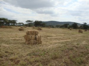
Kajiado County is situated in the Rift Valley and borders Narok and Kiambu Counties to the west, Nairobi and Machakos counties to the north, Makueni and Taita/Taveta counties to the east and Tanzania to the south. It lies between latitude 2.0981S and longitude 36.7820E and has a population of 687,312 (2009 population census). The County occupies an area of 21,902 km2. The County has five sub counties namely Kajiado Central, Kajiado North, Kajiado East, Kajiado West and Kajiado South.
The county has four main livelihood zones namely, Pastoral all species, Agro-Pastoral, and Mixed Farming livelihood zones, with population proportions of 52, 12 and 5 percent respectively. Formal employment, casual waged labour and business livelihood zones comprises 31 percent of the population.

Kajiado County is one of the 14 counties implementing the Kenya World Bank funded Regional Pastoral Livelihoods Resilience Project. The county was targeted because of its vulnerability to recurrent droughts, trans-boundary livestock trade routes, clustering around common issues such as pasture reserve areas. Other specific criteria include high poverty levels, potential for pasture production and storage, land fragmentation, community interest in the project activities and complementarity with other projects on drought resilience.
Achievements under thematic areas
Toggle content goes here, click edit button to change this text.
Toggle content goes here, click edit button to change this text.
Toggle content goes here, click edit button to change this text.
Toggle content goes here, click edit button to change this text.
Toggle content goes here, click edit button to change this text.
Toggle content goes here, click edit button to change this text.
